I am excited about the Copenhagen Lightrail (Hovedstadens Letbane) that is due to open in 2025. Yesterday i went for a bike ride with my drone to see how they’re getting on around Glostrup, which is where i live.
Glostrup Station
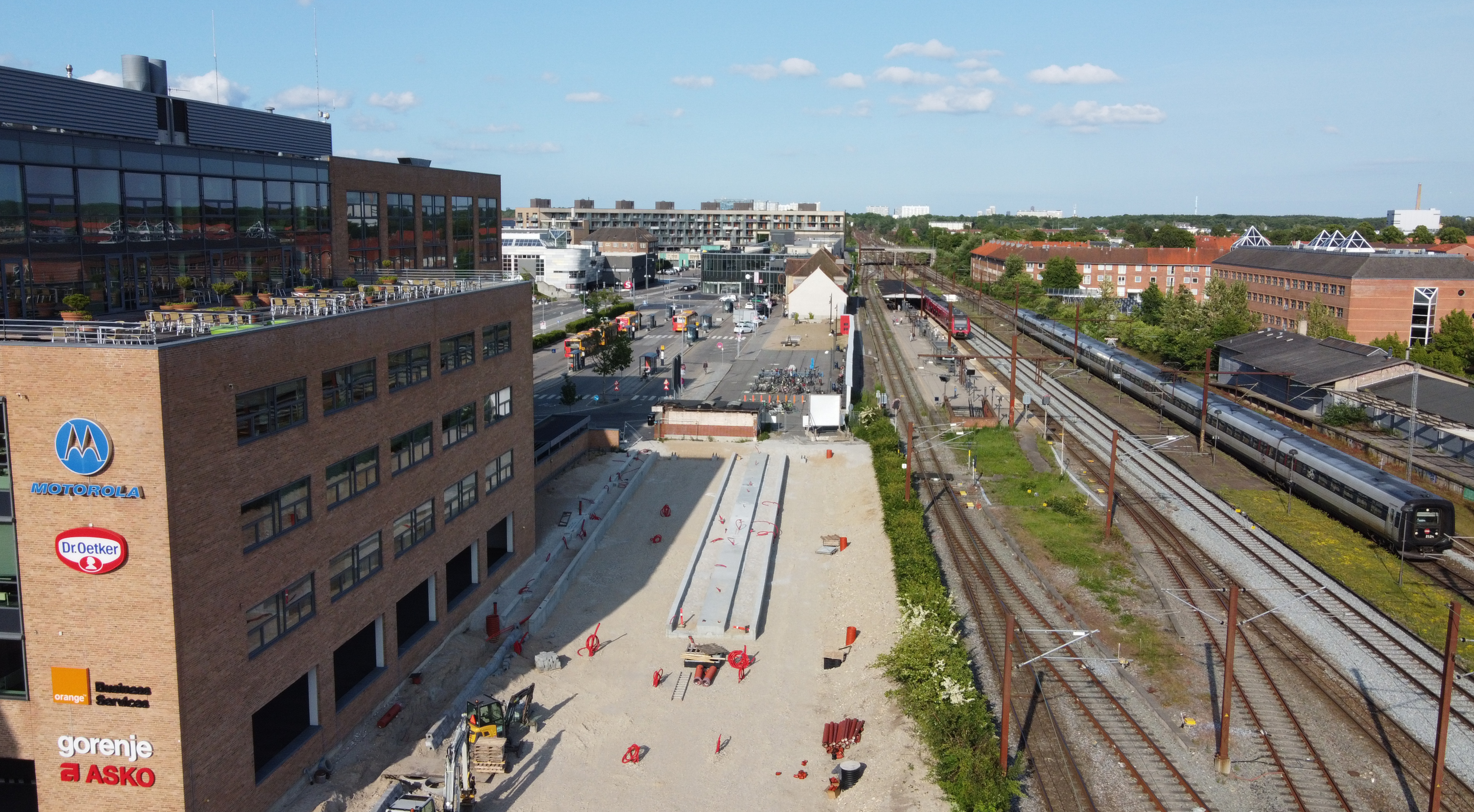
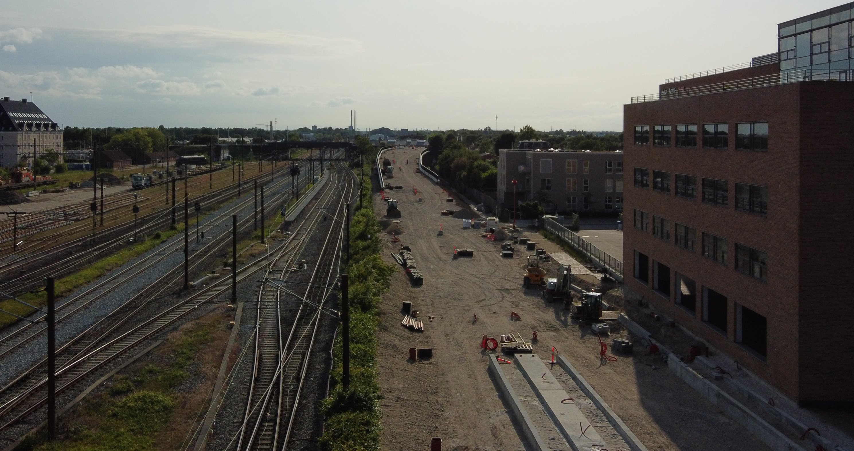
This is my local S-train and bus station. You can see an S-train in the platform and a regional train going by. In the foreground they have cleared away a road and the old bike shed, and begun building the lightrail platforms.
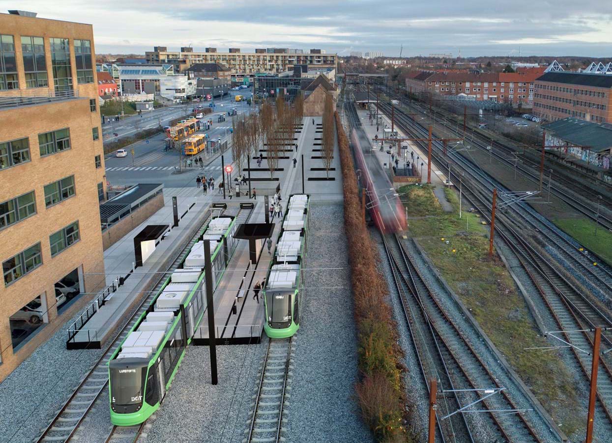
A vision picture from dinoffentligetransport.dk/letbanen shows how this may look when the lightrail is finished!
Looking West, we can see the link to the main route on Ring 3. This used to be a road and car parks.
Bridge over Sydvestvej
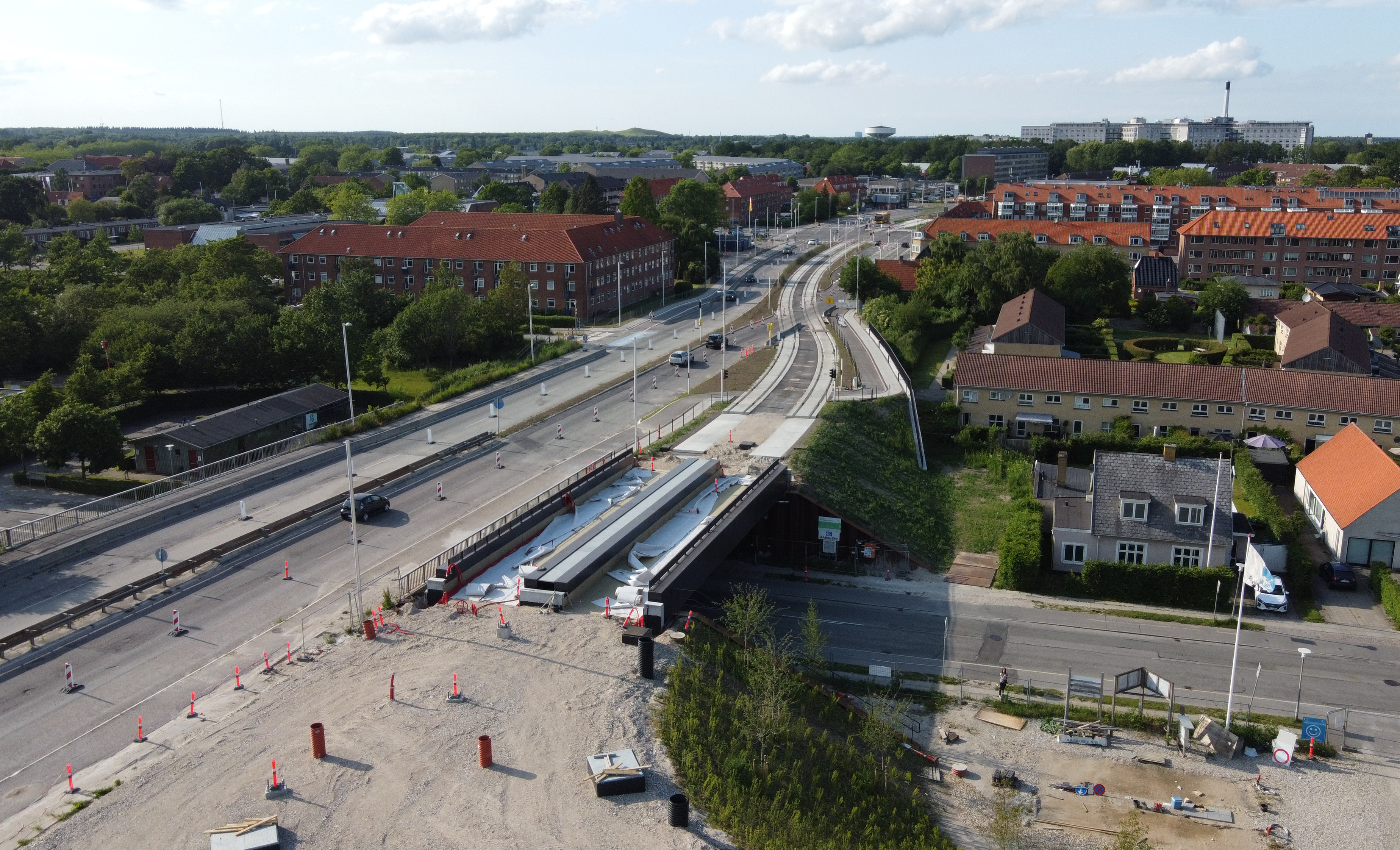
Looking North, this is Søndre Ringvej where they have had to extend the bridge over Sydvestvej to make room for two lightrail tracks. This is the point at which a line will branch off Ring 3 to serve Glostrup station.
Ring 3 Crossroads
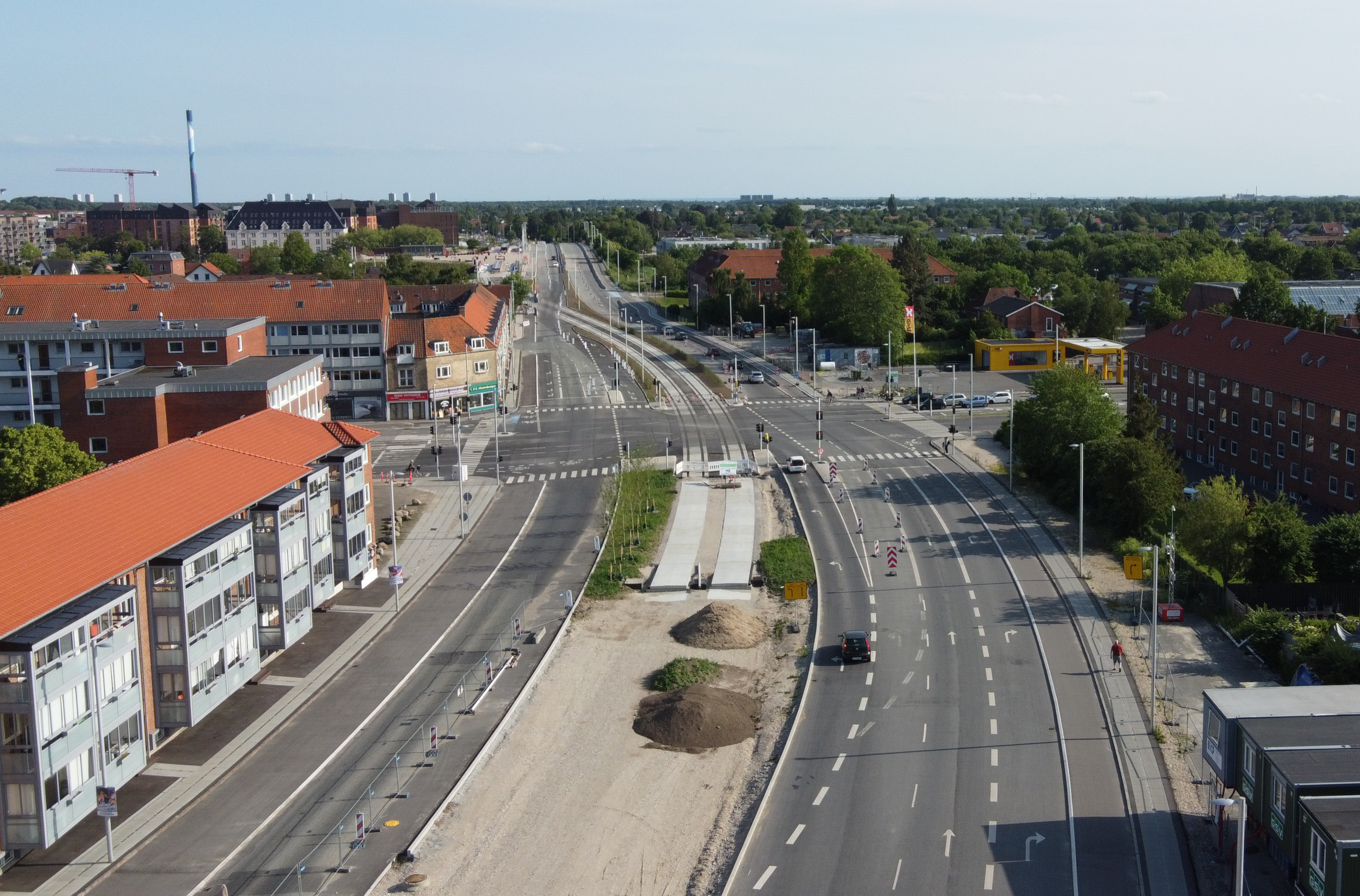
Looking back South now, this is a major junction where Ring 3 crosses over Roskildevej, where Søndre Ringvej turns into Nordre Ringvej. At this point the lightrail will go straight down the middle of the road, so they had to widen it considerably. There used to be houses and shops where the road is now.
Glostrup Hospital
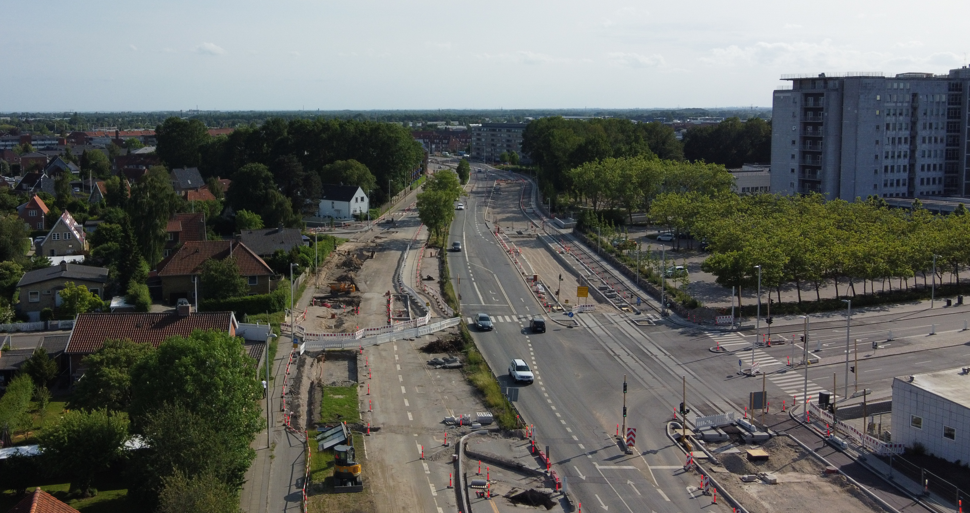
Still looking South down Norde Ringvej, i believe this is where a stop will be built for Glostrup Hospital. It is incredible how much they have had to widen the road, as they no doubt will have to for the entire 28km route of the new lightrail.
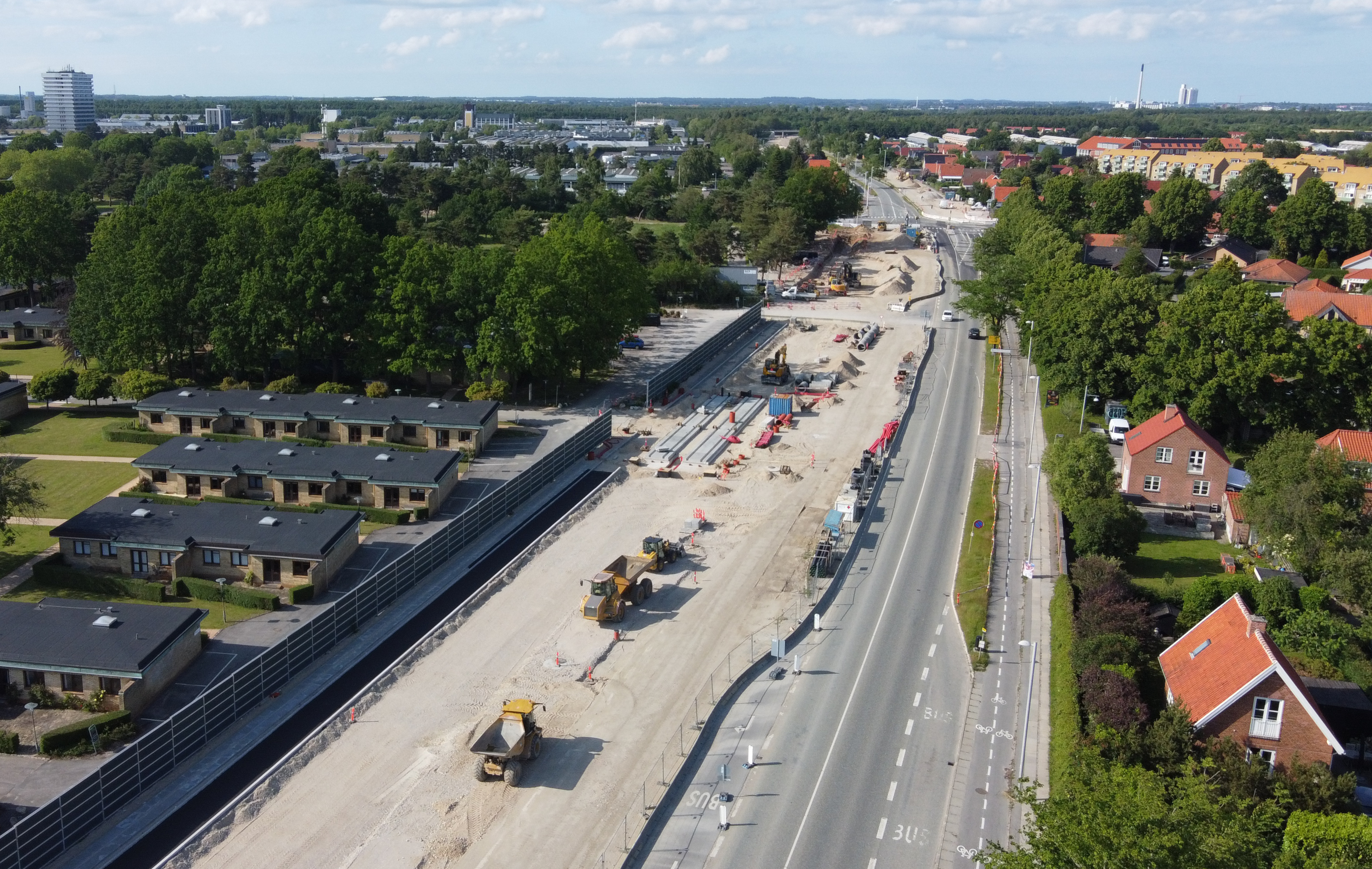
From the same spot, now looking North:
And now looking directly down from above:
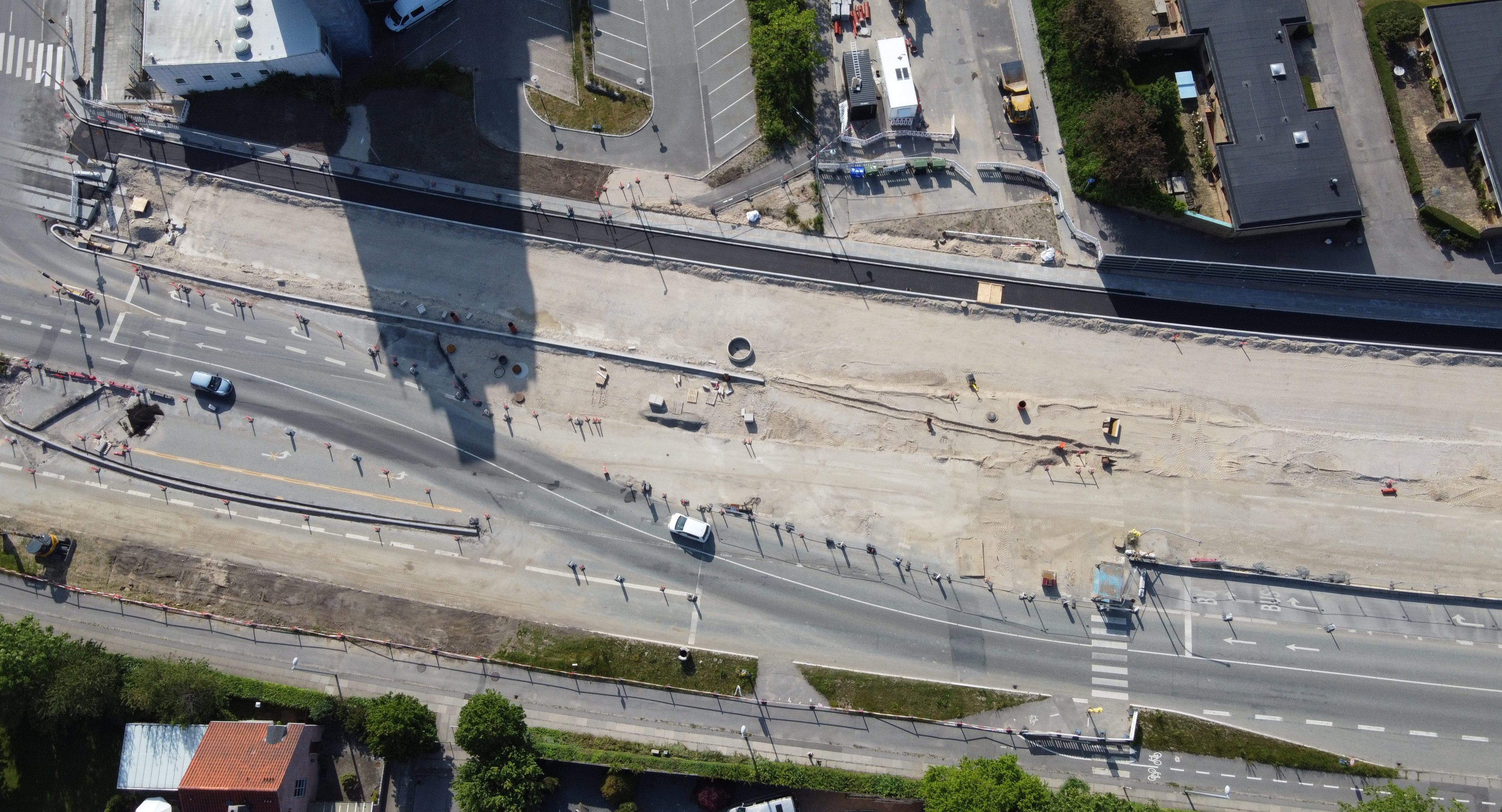
You can see how much they have had to divert the road traffic to make space to build.
I look forward to going out to see more Copenhagen Lightrail progress, and eventually coming back to take the same photos again when it is complete.
See more about Copenhagen Lightrail at dinletbane.dk.